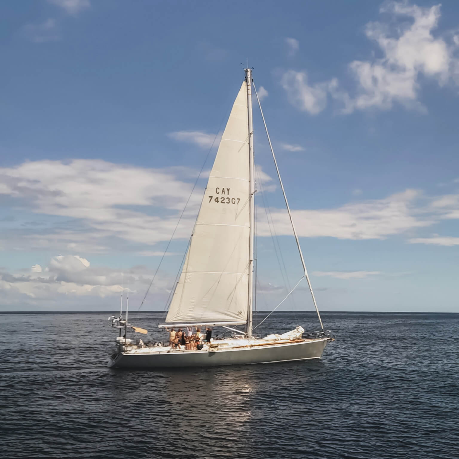
Coming to you live from the Atlantic Ocean!…
by Tom McMahon – Deckhand aboard Sea Dragon.
We are at sea. It has take quite a while to get to this point, as if you’ve been following I’ve no doubt you’re aware. Now that we’re out here sailing I’ve taken time to reflect on what it has taken to get us on passage.

To start with of course there were all the preparations I wrote about in previous blog posts and I am pleased to say that all the servicing and waiting on the dock for replacement parts has paid off in dividends, everything is working like a charm.

What all of this preparation along with the actual day to day work of moving a boat around has made me stop to think of is the ‘real cost’ of traveling and transport as a whole.
I habitually hop on and off planes to get to sailing boats, you could call it my commute. I do it enough to not really pay it any mind anymore. Thing is, if one does actually think about it there must be much more energy going into a plane to keep it airbourne than in to a sail boat to keep it moving.
And here is where my question comes in, is it right that modern economy airfairs should be so cheap?

I’m not advocating putting the price up, but perhaps I for one should start looking at what the real cost of this type of transport is. Based on my experiences over the last couple of months, the impact has to be greater than the price I get on my fly ticket.
It gave me pause for thought.
So continuing in the theme of of doing away with modern, time saving technology one thing which has been popular on our crossing so far is celestial navigation.
‘Celestial navigation, also known as astronavigation, is the ancient science of position fixing that enables a navigator to transition through a space without having to rely on estimated calculations, or dead reckoning, to know their position. Celestial navigation uses “sights,” or angular measurements taken between a celestial body (the sun, the moon, a planet or a star) and the visible horizon. The sun is most commonly used, but navigators can also use the moon, a planet, Polaris, or one of 57 other navigational stars whose coordinates are tabulated in the nautical almanac and air almanacs.’ wikipedia

I cannot find any argument to say that navigating by the stars is better than using the modern global position system (GPS). Doing it the traditional way is far more satisfying though.
Taking the time to work (face palm and metaphorically head butt my way) through the maths to reduce an afternoon sun sight is emminently more pleasing than glancing at a gps read out. Especially when accompanied by some freshly baked biscuits and a cup of tea.
Did I mention the food? I did? Good.

So now we continue on our journey and chart our progress across the Atlantic. The weather is fine, and would be too hot if it wasn’t for the gentle trade winds cooling our selves and propelling Sea Dragon to her destination, Barbados.
What a way to travel. It is, in a word, majestic.