After an incredible few days diving, cycling, exploring and meeting some incredible people we are are up and off.
1815 23 June GMT
03 52.62 N
159 23.48 W
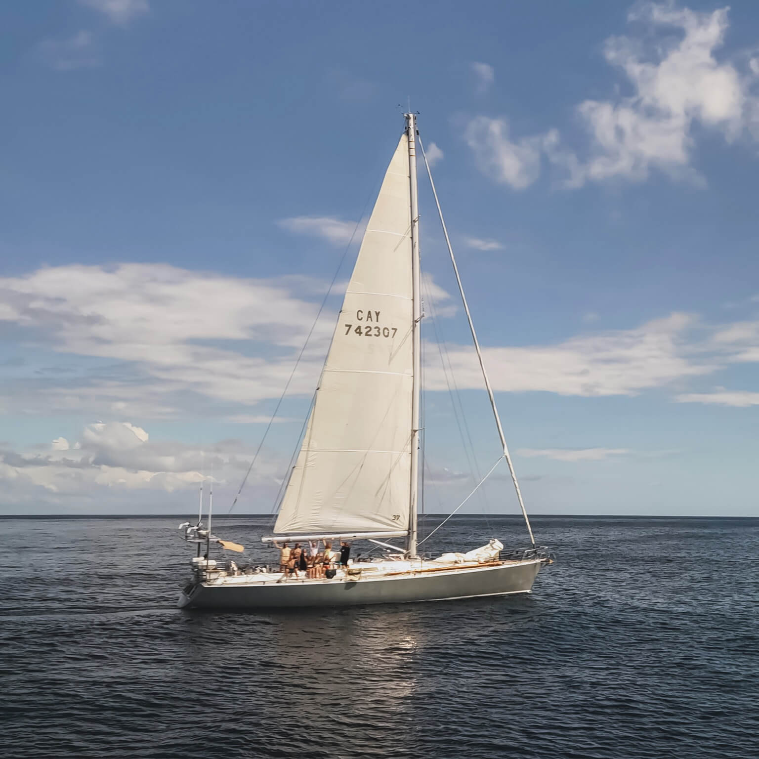
Sailing around the West coast of Fanning on passage towards Honolulu, Oahu.
POB 8
Please send more weather info.
Cheers, Clive
Just go this message in from Sea Dragon as the team is clearing their final landfall. They are heading north on a straight line to Hawaii. Sailing this next leg is particularly interesting as they move out of the deep equatorial tropics and into a 900 mile band of ocean that is known for three important features.
1) This is glorious trade wind sailing. There is no sailing on earth like the “trades” – so named for their relatively predictable winds that have carried merchant sailing vessels for centuries. Sea Dragon will soon hit a steady 15-20 kt NE wind that will power them at near full speed to Hawaii. Lets watch how this unfolds- Have a look at the picture below! Those “arrows” are wind indicators showing the forecast trade winds.
2) The ITCZ. Right about now, they are entering a band of intense but highly localized thunderstorms associated with powerful rising air currents. This is caused by the direct overhead sun (its Solstice on the 25th) heating the water surface. Big as she is, Sea Dragon will be like a ant trying to cross a busy street as giant thunderheads roll from east to west. Radar really helps here! Check out the latest NOAA satellite image below. Those deeply colored bands at the bottom are the actual convection cells (thunderheads) of the ITCZ.
3) Hurricanes. We are watching carefully for tropical storm conditions off the coast of Central America. We’ve had one Cat 4 storm already in the Eastern Pacific. They do sometimes turn due west and run towards Hawaii. We believe that Pele is good at deflecting storms away from the Hawaiian Islands…but often to the south. Right now, it looks very safe to cross the street.